EOSDA Blog

Top Articles
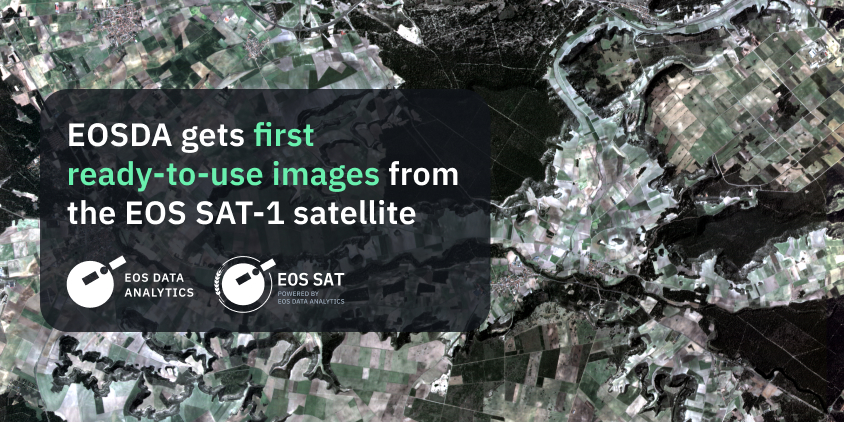
EOSDA Gets First Ready-to-Use Images From The EOS SAT-1 Satellite
EOS SAT-1, the initial small optical satellite of the first agri-focused satellite constellation launched by EOS Data Analytics, sent its first ready-to-use images of the Earth.

All articles
Popular tags
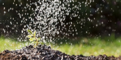
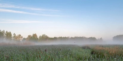
Agricultural Water Management With Sustainable Methods
Agriculture accounts for 70% of global freshwater use, highlighting the need to improve on-farm water management. Let’s explore smart approaches aimed at increasing agricultural water use efficiency.
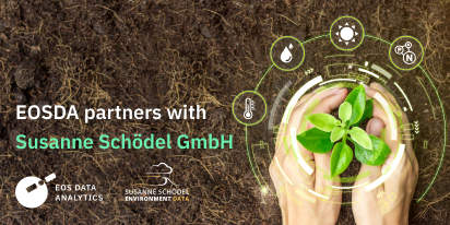
EOS Data Analytics Partners With Susanne Schödel GmbH
EOS Data Analytics and Susanne Schödel GmbH announce a strategic partnership to deliver AI-based satellite imagery analytics and improve crop monitoring and environmental conservation in DACH market.
Evapotranspiration Process And Methods Of Measuring
Evapotranspiration is the process of water vapor loss from the soil and plant surfaces. Farmers who are aware of the ET effects on crops are in a better position to increase their farm productivity.
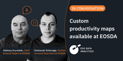
EOSDA Aids Higher Crop Yields With Productivity Maps
Oleksandr Dzhevaga & Aleksey Kryvobok, EOS Data Analytics, discuss models for custom crop productivity mapping, developed as a result of in-house collaboration between data and soil scientists.
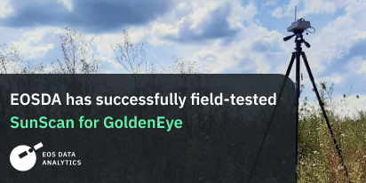
EOSDA Team Successfully Field-Tested SunScan For GoldenEye
EOS Data Analytics scientists acquired and tested the SunScan Canopy Analysis System within the GoldenEye project aimed at advancing sustainable mining practices and environmental care.
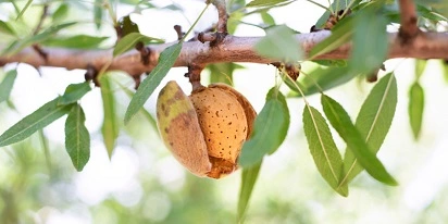
Growing Almonds: Conditions For Crop Success
Growing almonds is a complex puzzle where each piece — whether soil preparation, fertilizing, irrigation, or pest management — must fit into place to reveal the picture of a fruitful orchard.
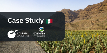
FONCOSPA Uses Remote Sensing In Agricultural Insurance
EOSDA Crop Monitoring provides satellite imagery analytics for FONCOSPA insurance company in Mexico, allowing them to improve accuracy in decision-making.
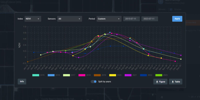
Satellite Time Series For Discovering Patterns & Trends
A time series of satellite images, much like a well-written biography, tells the story of a particular area on Earth by charting its evolution over time and providing new eye-opening insights.
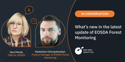
EOSDA Forest Monitoring: An Interview On The Update
In this interview, Vera Petryk, CMO at EOSDA, and Kostiantyn Chernyshevskyi, EOSDA’s Product Manager, reveal the new features and potential of the updated EOSDA Forest Monitoring platform.