Satellite Monitoring For Agricultural Input Suppliers
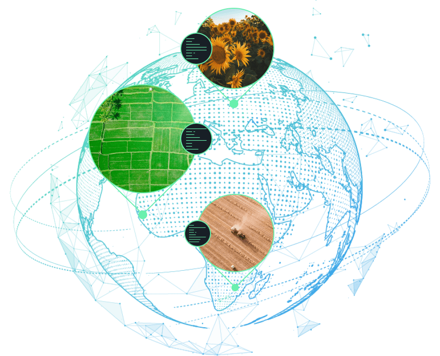
EOSDA delivers AI-based solutions with a chief focus on Agriculture and Forestry, operating in 22 more industries. Its flagship product is EOSDA Crop Monitoring, a top-notch online ag-platform for the key players of the ag-market, including Agricultural Input Suppliers.
The platform makes it possible to monitor the market performance, define the demand for your product, and build stronger relationships with customers through transparency, thus getting an upper hand in the competitive landscape of Agriculture.
Problems Of The Industry VS Advantages Of Satellite Monitoring
Lack of data to stay updated on the most relevant market trends and demands
- monitor crop performance all year round;
- develop sales strategies tailored to the real needs of farmers;
- study historical crop productivity trends for specific fields;
Lack of transparency in the customer interactions
Lack of tools to prove the effectiveness of the product to the customers and compare it with that of other suppliers.
Additional value
- regular access satellite imagery of their fields
- 14-day weather forecasts
- history of crop development
- productivity maps
High cost of soil sample testing necessary for determining the optimal seed & fertilizer application strategy
Coming up with a competitive sales strategy is a daunting task when there’s a lack of data to back it up
Key Features We Offer Agricultural Input Suppliers
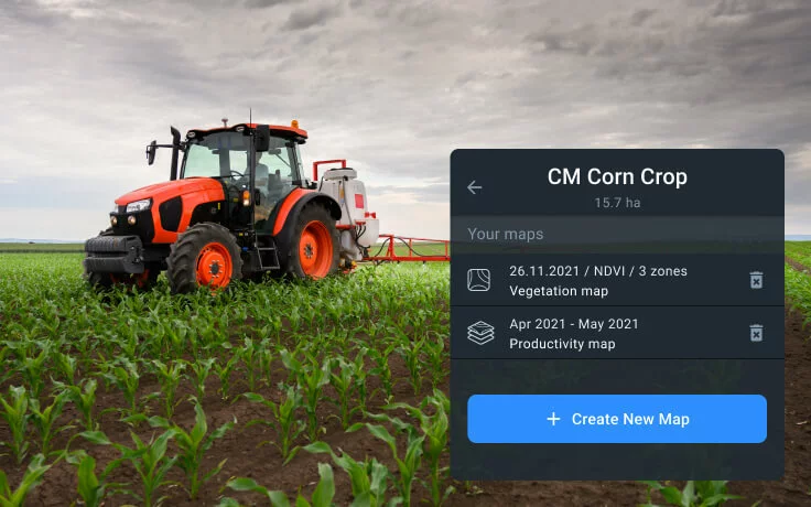
Split view
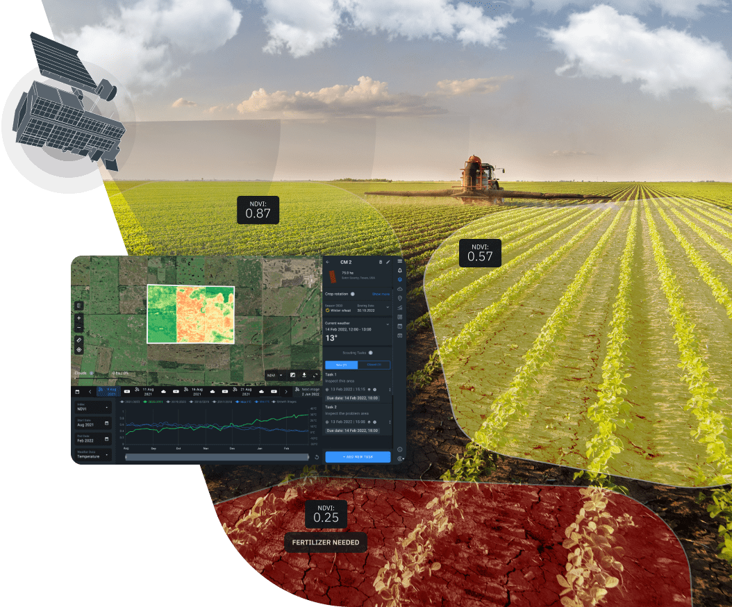
By splitting the screen, you’ll be able to compare crop performance in the same field for different dates, based on the crop health indicators - vegetation indices. It will demonstrate the effectiveness of a particular seed and/or fertilizer variety.

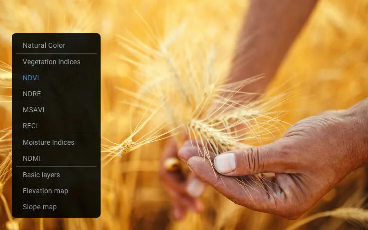
Zoning (VRA maps)
The VRA maps enable a more efficient allocation of inputs across each field. This approach can greatly reduce the cost of seeding, fertilizing, and crop protection. Variable-rate application is also good for the environment, reducing the waste of fertilizers.
Each map is based on data from satellite images processed using a vegetation index - pinpointing the areas experiencing crop stress or showing less productivity over time. The field can be easily broken into zones to distribute inputs according to the needs of each zone to maximize yield.

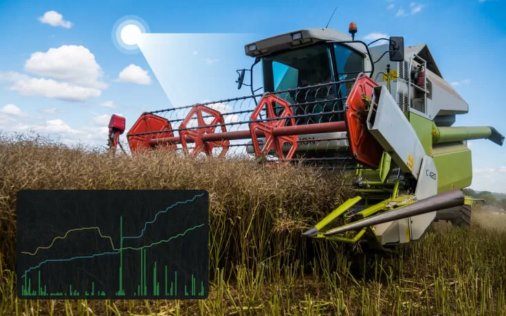
Scouting & Team management
Using the Team Management function, field owners can overview activities related to all of their fields plus control the field access permissions by assigning a specific role to each team member (employee/cooperative partner, etc.).
Farm input suppliers can use this feature to better understand how their clients manage their fields plus control scout activities, assign tasks, and track their completion.
Mobile EOSDA Crop Monitoring Application saves scouts time on searching for problem areas.

Customers' field monitoring
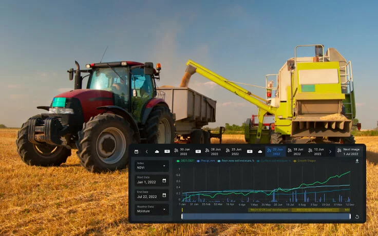
Monitor crop health to better understand how the input performance correlates with crop development.
Provide crop- and location-specific recommendations on how inputs should be applied.
Track NDVI changes and adjust fertilizer application plan to better suit the needs of the crops.
Reduce expenses and save resources thanks to the automated monitoring of crop performance.
Detect crop issues at the earliest stage and react in a timely manner.

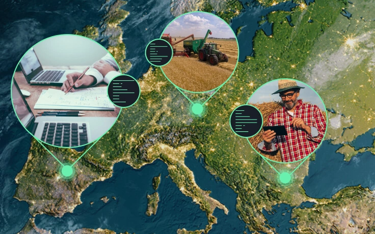
Mobile application
EOSDA Crop Monitoring Mobile App connects scouts and field owners, boosting the efficiency of scouting thanks to precision and speed. As soon as a problem area is discovered via field analytics, the owner can create a task on the main EOSDA Crop Monitoring platform assign a particular scout to complete it and set the deadline (due date), if necessary. The scout gets notified right away and uses the mobile app on location - offline maps guide the scout within the field pointing to the problem area(s) that has(have) been detected. After the check-up is done, the scout can generate a detailed report right in the app, adding a snapshot of the issue (damaged plant, weeds, etc.). The owner will have access to this report as soon as it’s been generated.

How This Industry Can Benefit From Using Satellite Data
- Stay updated on the latest market trends to always be ahead of the game.
- Build a strong and lasting relationship with your customers through transparency.
- Stay on top of the competition by comparing the effectiveness of your product to that of other suppliers and demonstrating it to your customers.
- Add value to your products and services by offering the clients our digital agro-platform for monitoring crops.
- Considerably reduce expenses on variable rate application thanks to our satellite-based precision field maps.
- Increase sales by employing a powerful sales strategy tailored to the customers’ relevant demand based on all the data available on our digital farm management platform.