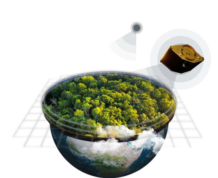
Mitigate risks and optimize forestry operations with EOSDA Forest Monitoring
- Solving forestry problems from space
- Monitor forest health remotely
- Get notified about any changes and risks
- Manage all your forest stands in one place
Get to your business goals faster and in the most sustainable way with our out-of-the-box solutions
Save Time
- Faster report generation
- Access the most up-to-date data on your forest stands wherever you are
- Remote change monitoring and regular problem area alerts
Spend Less
- Reduce loss due to material damage with regular risk alerts
- Cut extra costs by monitoring forest stands remotely
- Predict forestry logging, transportation, and storage costs
Convenient Forest Land Management
- Up-to-date forest mapping: monitor health, estimate area, and more
- Monitor forest health, compare stands before and after deforestation, and more, all in one place
- Monitor forest cover change in near-real time on a regular basis
Sustainable Forest Management
- Reduce the negative deforestation effects on carbon cycle remotely
- Detect illegal logging thanks to satellite-based deforestation maps
- Get reliable data on damage by forest fire from space
Personalized solutions
- Landowners & Forest Managers

- Logging Companies
- Food Processing Companies
- Finance & Investment

Create land use maps and develop forest management plans more efficiently

Monitor forest health, detect pests and diseases at an early stage

Create more detailed reports based on reliable data retrieved from forest imagery

Lessen the impact of fire on forest health thanks to timely forest fire alerts

Track illegal deforestation and intervene in a timely manner

The most up-to-date forestry maps at your fingertips

Track reforestation thanks to satellite technologies

Achieve sustainable tree harvesting by monitoring compliance with logging regulations via satellite imagery

Detect fire at an early stage thanks to the high temperature alert system

Make sure your partners do not contribute to global deforestation

Track the progress of forest landscape restoration efforts

Generate zero-deforestation reports based on accurate satellite data

Estimate the value of forest stands with a higher accuracy thanks to advanced satellite data analytics

Assess damage to forest health remotely and with high precision

Minimize risks thanks to a flexible notification manager that informs you about key changes within your forest stands
Key Features
Monitoring
- Remote precision silviculture monitoring and evaluation across regions and within single stands
- Forest fire monitoring based on NASA FIRMS abnormally high temperature alert technology
- Deforestation satellite monitoring within forest stands and on a regional scale
- Monitor moisture content in plants and reduce risks of tree diseases and forest fire hazard with the Water Stress reports

Weather Archive & Forecast
- Enhanced forestry operations planning based on a reliable weather forecast within an area of 9 by 9 km
- Make better-informed decisions and study weather trends in your area of interest with historical weather data available since 2008
- Find the correlation between weather trends and forest growth based on the sum of active temperatures for a selected period
- Predict forest fire hazard situations based on historical weather data, such as accumulated precipitation and temperature trends

Dashboard & Notification Manager
- Carry out change monitoring for as many forest stands as you like
- Analyze changes within your forest stands - monthly, quarterly, yearly - in downloadable .pdf and .xls reports
- Bring forest fire management on a new level with the timely high temperature alert system
- Adjust notifications to your specific needs and stay aware of any changes in forest productivity, water stress, and other parameters

Upcoming Features

Radar Detection of Forest Clear-Cuts
Forget about clouds obstructing the view of your forest stand on the satellite image. Radar clear-cut detection and mapping technology will provide you with accurate data on forest cover change every 3-6 days, clouds or no clouds.

Automatic Tree Classification
No more manual classification of trees growing on your stand! Task us and we will provide you with solutions that suit your needs the most
Want More Options?
API EOSDA
- Advanced Data Set
- Complete Access to Data
- Clear API Documentation
- Easy to Integrate
- Prices Tailored to Your Needs
- High Quality Support