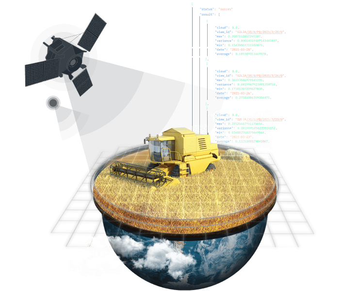
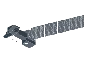
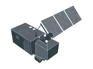
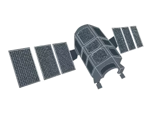
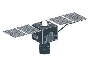
Satellite API - Fast and Easy Access to Raw, Processed, and Analyzed Data
When it comes to geospatial data analytics, few companies come close to the level of expertise EOS Data Analytics can boast. We have years of experience in creating satellite-driven products and developing tailor-made solutions for business and environment challenges in Agriculture and Forestry.
What is API and how does it work with satellite data
API (Application Programming Interface) is an intermediary tool for transmitting data between various software via programming code language.
Through our API, you can access the latest satellite imagery, historical data analytics available since 2015, weather forecasts, and other data for a specific AOI (area of interest).
Core Features
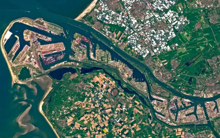
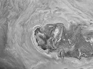
Satellite Imagery
- Easily find the right agriculture satellite imagery
- Download satellite images retrieved from 9 different sources
- Analyze satellite imagery data by applying NDVI, ReCl, MSAVI, and 14 other indices
- Download satellite bands of any scene
- Download a satellite image of any AOI
Analytics
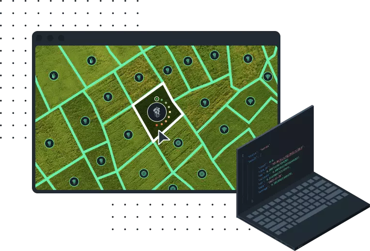
- Access data for any scale ranging from a single point to a large area
- Access to data obtained using default and custom satellite band combinations
- View statistics for soil moisture in the AOI collected since 2016
- Get the elevation value for any given point on the map
- Get satellite imagery data of higher accuracy thanks to cloud masking

Weather Data API
- Get a 7-day forecast via API
- Access historical weather data via API to build trends
- API weather forecasts at 1h and 3h intervals
- Access data on temperature via API along with humidity, wind, and other parameters
- Make better-informed decisions based on the accumulated temperature and precipitation data

We offer agri API data to
Food producers
- Cut costs and protect the environment by streamlining farm operations
- Increase precision of most operations thanks to easily accessible ag data analytics
- Get access to crucial agricultural data in time to prevent critical issues with crops
AG Tech developers
- Multiple data points obtained from a single source
- EOSDA products can be easily integrated into your platform
- White Label solution - Our precision agriculture platform under your own brand
Insurance providers
- Easier validation of claims by accessing reliable farm data
- Transparent approach to all payout decisions
- Sharing the advantages of having access to satellite imagery data with your clients
Input suppliers
- Build transparent relationships with partners
- Monitor input performance and compare with historical agri data
- Increase your market expertise by monitoring crop performance globally
Government
- Monitoring of land on a larger scale
- Access to historical data for making more accurate projections
- Prevent damage from natural calamities
Banks and loan institutions
- Base your risk assessment on hard data-driven evidence
- Track investments at every stage
- Make the dealings between bank managers and food producers as transparent as possible
Make the dealings between bank managers and food producers as transparent as possible
For years, we’ve been dealing with farmers and acquired first-hand knowledge about their pains and needs. Out of this knowledge, we have developed a variety of practical agri solutions that you can benefit from via our fast and easy API access.
Crop classification using remote sensing
- Identify the type of crop growing on a particular field
- Detect field boundaries from space
- Historical crop rotation data since 2017

Zoning maps
- Remotely calculate the field’s productivity and the vegetation’s needs for nitrogen, potassium, and phosphorous
- A wide selection of indices (NDVI, RECl, MSAVI, NDMI, and more)
- Reduce expenses thanks to variable rate application of seeds and fertilizers
- Data for the specific zones going back to 2019

Soil moisture sensing
- Easily access data on soil moisture obtained from satellite imagery
- Improved accuracy of soil moisture sensing thanks to higher spatial resolution of satellite images
- Data available for every season since 2015

Elevation maps
- Detailed maps of the ground elevation above sea level for an area ranging from 3m to 2500m
- Elevation by point or by tile at your convinience
- Access to data in geotiff format with geo anchoring

Data sources we use


3 easy steps to start
Contact us to schedule a demo
Understand what our API can do specifically for you
Get started with your own personalized API plan