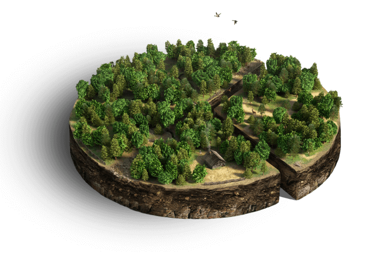
Forestry
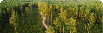
Using our forestry software, you can manage your forest assets remotely in near-real time. Verify inventory, supervise deforestation, and track the supply chain to make better-informed decisions. Receive forest fire risk alerts and predict fire spread rate to maintain forest health, thus reducing costs and increasing profit
Solutions tailored to every challenge
- Landowners

- Financial institutions
- Energy companies
- Food processing
- Research institutes
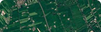
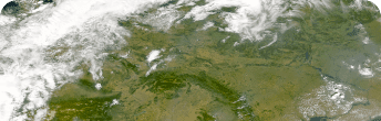
Verify statistical data on forest inventory and monitor deforestation
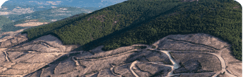
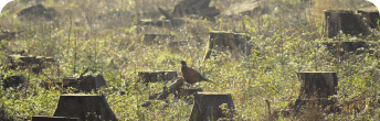
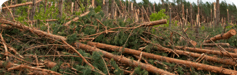
Precisely define, monitor, and calculate the harvest area
Accurately estimate the logging capacity within your AOI
Monitor pests and diseases affecting forest health
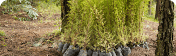
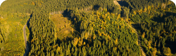
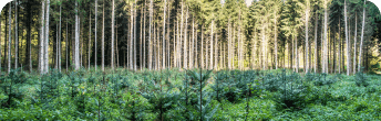
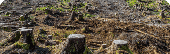
Track growth dynamics of newly planted trees to evaluate reforestation success
Get a map of your forest site and accurate calculation of the selected sites for detailed monitoring
Estimate the value of forest estate land and individual plots
Assess impact of natural and man-made disasters
Receive regular notifications and assess natural & man-made disaster risks
Get control over remote forest assets
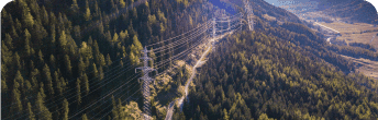
Get a relevant forest cover mask for the area that has power grids
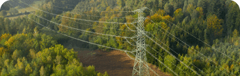
Detect change and receive alerts when the forest zone approaches the power lines and wires
Get severe weather warnings and forest fire risk alerts within your AOI
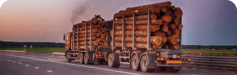
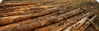
Track wood supply chain
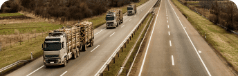
Manage and plan logistics operations more efficiently
Make sure to comply with the legal requirements for deforestation
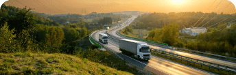
Ensure supply chain traceability and transparency
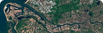
Detailed monitoring of forest assets with the most current maps
Manage forest assets more efficiently thanks to remote tree species classification
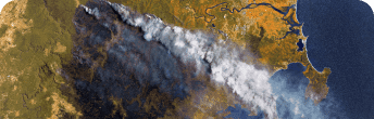
Disaster impact assessment
Monitor global climate change impact - global warming, green gas emissions, and more
Predict the impact of deforestation & forest fire on carbon recycling
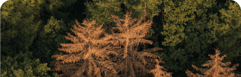
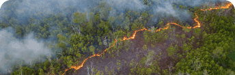
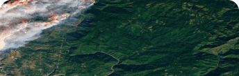
Prevent forest fires or mitigate their impact based on satellite data
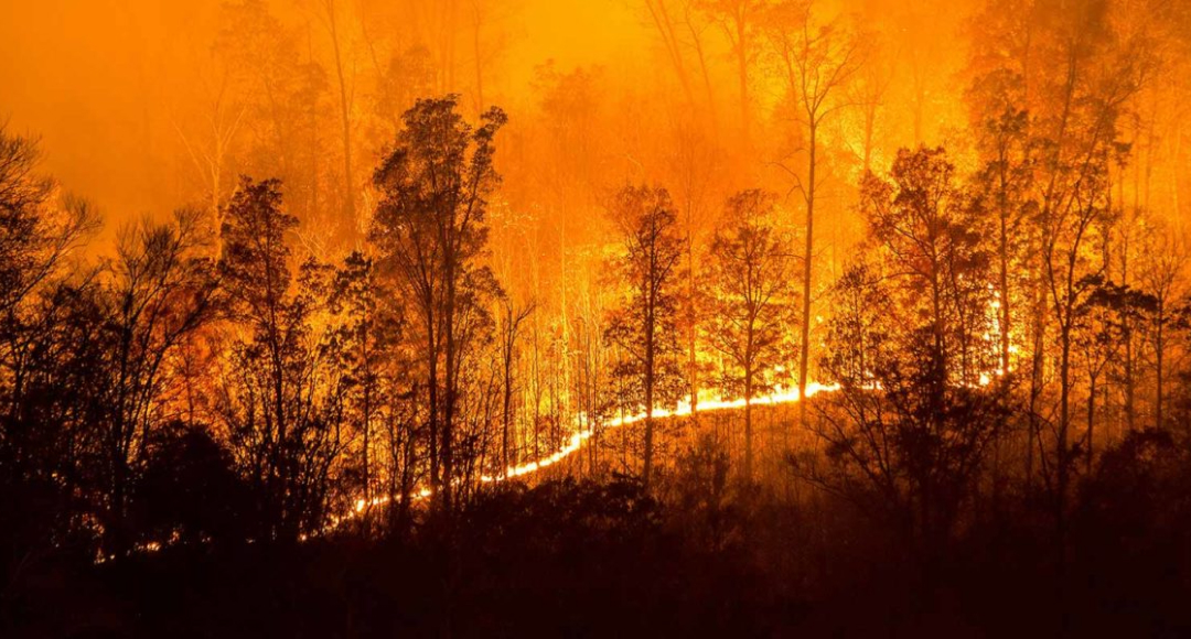
- Prevent forest fires or mitigate their impact with the help of satellite data
- Detect potential forest fires and/or hotspots in near-real time
- Map burned areas and measure fire intensity remotely using NBR and BAI indices
- Mitigate impact from wildfires with a timely alert system
- Analyze forest fire aftermath, including timber volume losses and burned out area estimation
Reduce deforestation and maintain forest health in your AOIs via satellite imagery
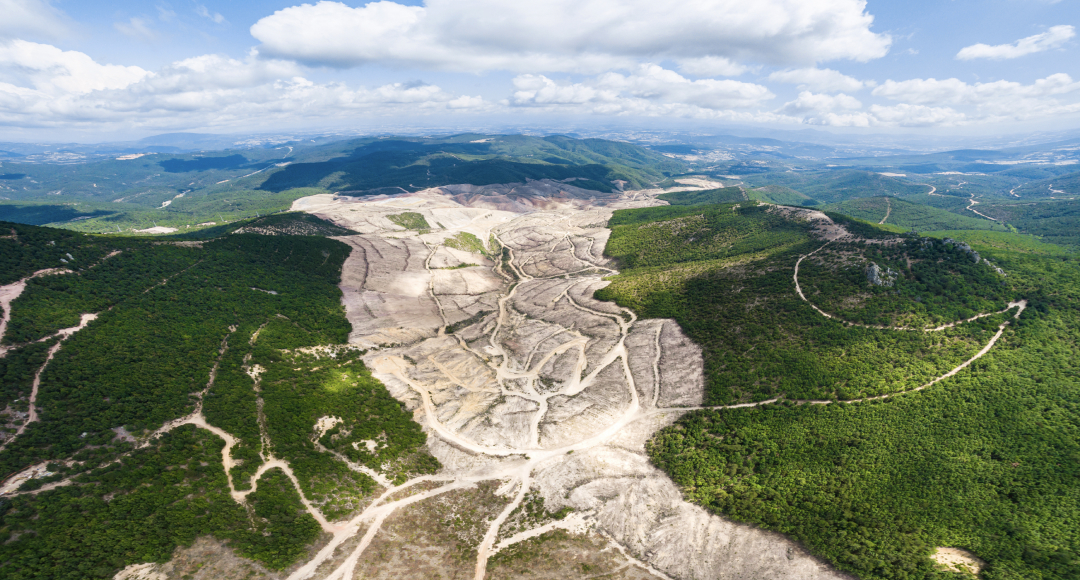
- Reveal crucial deforestation patterns based on the definitive catalog of historical and up-to-date satellite imagery
- Detect changes in forest cover and abnormally high temperatures, track logging, and more
- Make better-informed decisions thanks to email notifications about changes in forest cover within your AOI
- Forest health monitoring: evaluate productivity of forest stands and detect water stress
There's more in store for you
Optimize Your Time
- Save time on generating reports
- Remote access to the latest data on forest assets anytime anywhere
- Receive change detection and problem areas alerts
Cut Costs
- Regular risk alerts speed up decision-making process and help minimize damage
- Reduce costs on monitoring forest assets with remote sensing technologies
- Make reliable predictions of logging, logistical, and storage costs
Convenient Remote Forest Management
- Create the most current forestry maps, estimate area and assess health
- Regular forest reports, monitoring, before/after comparison, indices, analytics, supply chain development, and more, all available in one place
- Understand global forest processes
Sustainability
- Monitor forest carbon stock to lower the negative impact of carbon emissions on the global climate
- Stay aware of any illegal logging operations by monitoring deforestation from space
- Estimate the disaster aftermath with satellite images before and after a forest fire