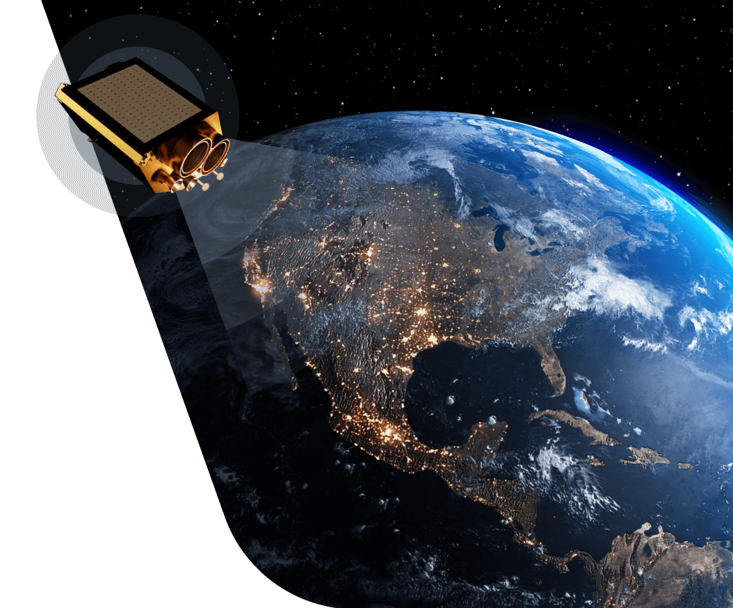
Enhance precision farming with daily updated high-resolution satellite imagery
- Deep dive into details at a 3m resolution
- Near real-time monitoring thanks to daily satellite images
DAILY REVISIT
No more gaps in satellite monitoring throughout the season! Get up-to-date daily images of your fields 365 days a year
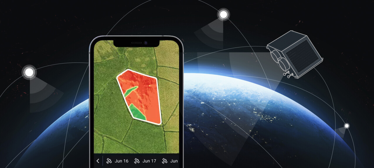
Through the Clouds
Clouds are no longer a major concern, when you are getting satellite images updated daily
Early Detection
Detect issues with crops at the earliest stage and avoid irreparable damage thanks to daily satellite images
Improved Reporting
Generate more detailed reports and improve risk prediction accuracy thanks to daily satellite imagery
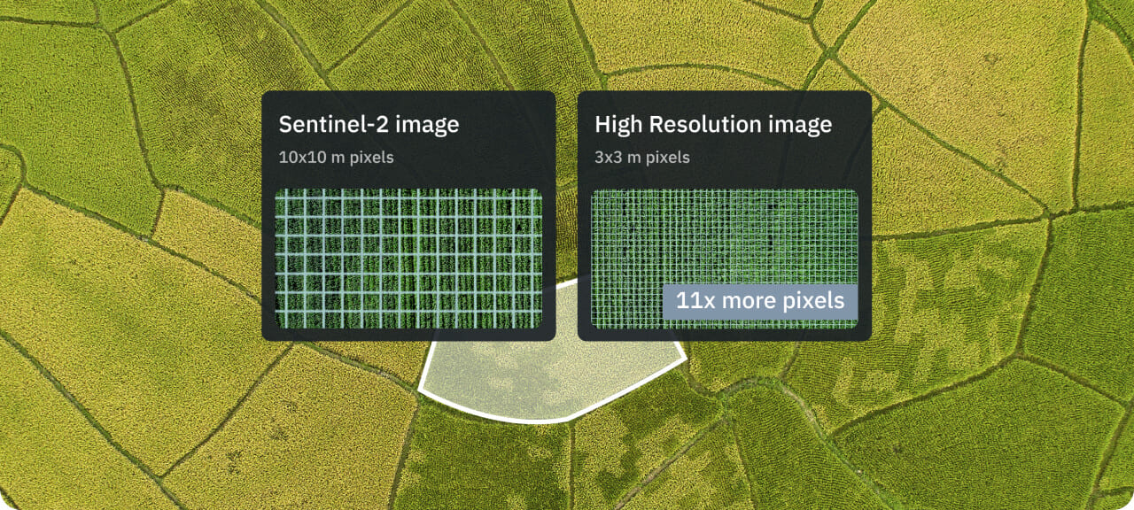
HIGH RESOLUTION
You get 11x more data about your fields thanks to 3m resolution
NDVI Enhanced
Higher resolution expands NDVI capabilities: measure biomass at the earliest stage of development
Orchards & Vegetables
High-detail monitoring of orchards and vegetable crops, capable of resolving single plots
Higher Detail
Spot problems with crops at the earliest onset thanks to higher resolution allowing you to see more details on the image