EOSDA PRODUCTS
Satellite data, deep learning algorithms and actionable insights - all you need to accept any business challenge
EOS Data Analytics delivers trusted geospatial insights where and when it matters, empowering decision-makers. Obtained from diverse sensors the data works its way from pixel to advanced virtual tools capable to solve any business tasks. Stay updated with what’s happening in your area of interest, unlock previously unseen trends, and make reliable predictions keeping the pace of tech progress.
Explore the geospatial solutions for your business
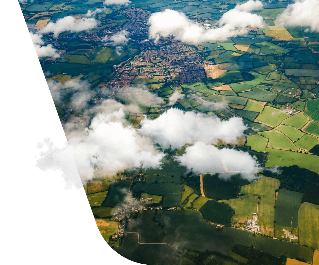
An advanced virtual agro tool to manage fields effectively. Keep all data about your fields in one place and make informed and timely decisions to get the most out of each acre.
-
CROP HEALTH ASSESSMENT
EOSDA Crop Monitoring puts you on the cutting edge of efficient online field monitoring based on satellite imagery and vegetation index analytics. It allows for tracking all your farmers' field activities on a daily basis.
-
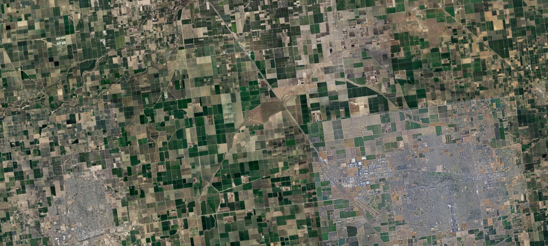
YIELD PREDICTION
The system is capable of modeling the dynamic development of crops, allowing to significantly improve the diversity of yield performance at the field level. It makes it possible to create precise fertility and seed prescriptions, thus saving effort and resources.
-
CROP TYPES MAPPING
Machine-learning algorithms that measure field area can also automatically specify the type of culture captured on an image using neural network technology. It allows the app to indicate the actual acreage of each crop type, improve yield planning and assessment, as well as crop rotation planning.
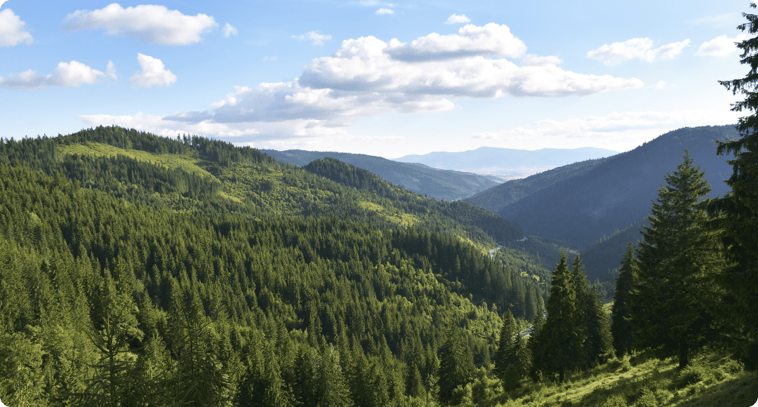
A comprehensive online tool for remote monitoring of deforestation, forest productivity, and water stress within individual forest stands, equipped with a convenient system of notifications for timely and highly effective decision-making
-
Forest health assessment
Remotely assess forest health, estimate the risk of potential pest and disease occurrence, measure the extent of deforestation over any given period
-
Forest fire mitigation
Mitigate wildfire impact within your forest stands thanks to timely alerts based on NASA FIRMS thermal anomaly detection technology and predict forest fire hazards by studying precipitation and temperature trends available in the historical weather data archive
-
Sustainable forest management
Minimize the effects of deforestation on climate change and recognize illegal logging from space using special satellite maps
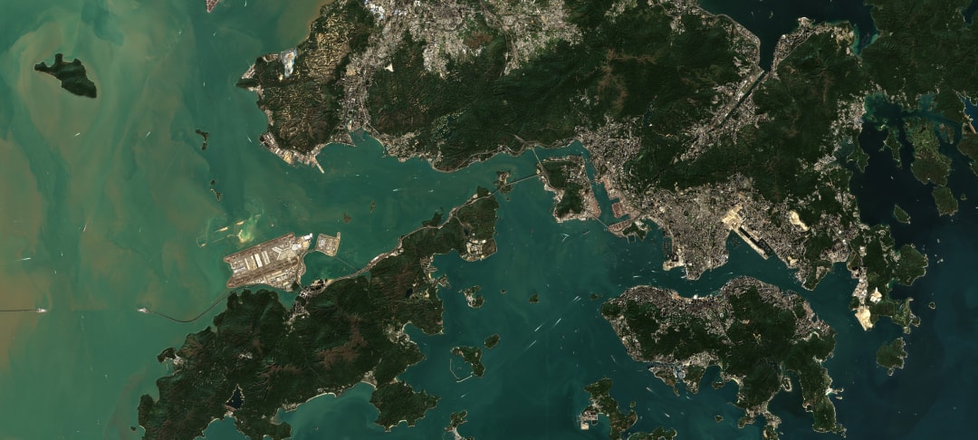
Your online GIS - assistant that provides a set of specific technologies to extract valuable information from big data, applicable to real business tasks.
-
A HUGE CATALOG OF SATELLITE IMAGERY
The service collects both free and commercial satellite images from unlimited scope of sensors, providing quick search and easy-to-access storage in expected data formats.
-
PROCESSING FUNCTIONS
The service is equipped with a set of useful functions for data processing - Mosaic (combining two or more images), Time-lapse (interval shooting), Band combinations (custom combinations of indices and spectral channels) and Time Series Analysis
-
REGULAR AND CUSTOM ANALYTICAL ALGORITHMS
It offers a diverse range of algorithms (NDVI analysis for a given area and time period, indices generating, cloud masking, atmospheric and radiometric correction, detecting changes in one area for different periods of time (deforestation, construction, vegetation, among others)). In addition, the user is able to enhance the analytics with custom algorithms.
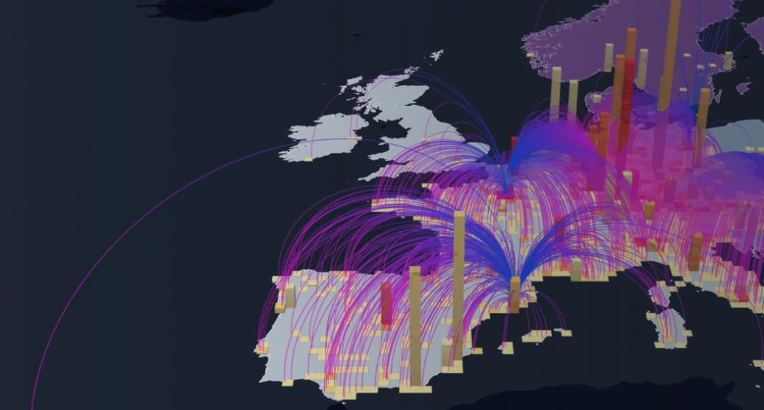
The service offers smart dashboards with 10+ graphs and charts to complement the map. Enjoy additional layers of data protection thanks to the domain-based control. It takes only 2 clicks to share a map as a link, module, or a separate web page.
-
DEFINITIVE DATA CATALOG
Get actionable insights about your region’s demography, commercial sites, and other points of interest using a free data catalog.
-
DATA ACCESSIBILITY
There’s no need to use coding to get access to the state-of-the-art, fully customizable visualization and analysis of data.
-
INTERCONNECTEDNESS
You can rely on a vast network of partners across the web who can provide you with mobility data and satellite imagery that fits your specific needs.
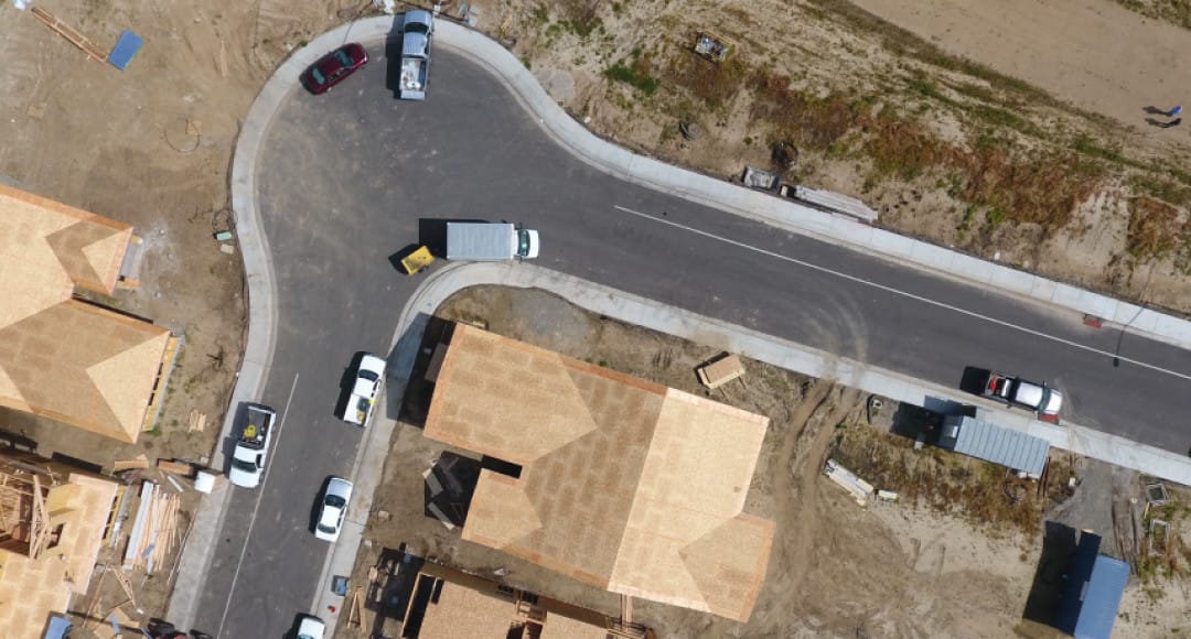

As a distributor of satellite imagery, EOSDA offers both historical and up-to-date high-resolution images from the top providers. If you need high accuracy, frequency, and level of detail to fulfil your tasks, ordering commercial imagery directly from EOSDA LandViewer is a cost-effective and time-saving proposition. Just task our team to find the most suitable image for your case. The application of high-resolution imagery is versatile, ranging from forestry to disaster relief operations. So, what is your area of interest? Tell us what you need and we’ll deliver.