Precision Agriculture

Making agriculture easy with space technologies

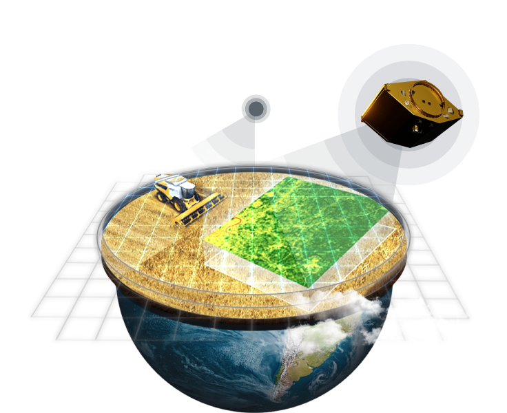
Аt EOSDA, we make a change, fusing space technologies with human determination for sustainability on Earth. Our focus is GIS precision farming as the shared strategy to save time and resources, cut costs and losses, make profit and an impact - keep the pace of change. Utilizing our ag solutions you will always be a step ahead.
Try now
satellite monitoring for precision agriculture
Precision Agriculture Solutions

Apply satellite farming tools and make your precision agriculture practices easier done than said

farmer uses EOSDA Crop Monitoring app for check the crops’ health

Manage your fields easier - monitor remotely, reveal issues on the spot, and act timely with a top-notch software for farming:

  • Variable rate fertilizer/seed application based on agricultural productivity map
  • Near real-time change detection displayed on our Field leaderboard 24/7
  • Timely data-driven decisions thanks to remote problem area detection and precision scouting
  • Effecient planning across all of your fields with an advanced field activity log
  • In-depth field state analytics with agriculture weather forecast, vegetation indices, stages of plant growth among other key factors
  • Access to all the data from agricultural machinery on one screen via user-friendly Data Manager
mobile Scouting App from EOSDA Crop Monitoring

Mobile Scouting App

Scouting has never been easier thanks to our free precision farming app connected with EOSDA Crop Monitoring web interface:

  • Set, manage, and monitor scouting tasks easier with a focused mobile app.
  • Inspect issues, attach pics to reports, and share results with a team - host all the scouting flow in one place.
  • Take advantage of GPS-based precision of scouting.
  • Work with scouting tasks in online and offline modes.
  • Stay up-to-date on the smallest changes thanks to automated synchronization with web-version.
  • Add threats to reports while scouting and you'll get notified about the presence of high-level threats directly from the fields.
various spectral indices application for different fields

Custom Projects

In a world of neural networks and machine learning, nothing is impossible. Bring your business challenge to us, and we will deliver a special solution to you.

  • Land cover classification
  • Land use classification
  • Crop classification
  • Field boundary detection (contour mask)
  • Harvest dynamics monitoring
  • Yield prediction
  • Cloud mask
  • Soil type classification and much more upon request
More details
What we offer

Ag Monitoring Solutions

  • Farmers
  • Cooperatives
  • Advisors and Consultants
  • Insurance & Reinsurance Companies
  • Input Suppliers
  • IT Companies
  • Banks
  • Grain Traders
  • Governments and National Institutions
  • Non-Government Organizations (NGOs)

Farmers

  • No more input wastes thanks to improving yields with satellite precision farming solutions
  • Keep track of crop productivity throughout the whole vegetation season and get a complex crop performance report
  • Make a reliable field activity plan with advanced weather analytics (historical weather, current weather, a 14-day weather forecast for your field).
  • Enhance crop risks detection: identify weeds, insect pests, or diseases in a timely manner
  • Improve soil productivity with differential applications of key nutrients - fertilizers, herbicides, pesticides, and fungicides
  • Manage all the farm operations more efficient with our advanced Field activity log
  • Task your scouts with the most urgent issues sending them directly to “hot spots”
  • Get higher yields using effective variable rate seeding strategies
  • Precisely estimate the time when the crop is ready to be harvested with our automatic stages of plant growth models
Try now

Cooperatives

  • Push higher transparency and more effective partnership between co-operative members and farmers by providing them with a shared account.
  • Stay in touch with your scouts and get the latest updates in near real-time thanks to specifically designed team accounts.
  • Take advantage of our focused mobile app allowing you to detect issues, add photos, add threats, and share reports with co-op members, while still on the field.
  • Automatically detect problem areas with an unprecedented precision regardless of the field size, make faster and better-informed decisions and reduce costs.
  • Impove yields and reduce costs with VRA approach.
  • Get crucial crop rotation data for every field within your co-operative to elaborate the most effective field treatment strategy.
  • Mitigate bad weather consequences with advanced weather risks analytics.
  • Integrate all the data you need into your internal system via API.
Try now

Advisors and Consultants

  • Stay updated on both natural and man-made risks (waterlogging, poor drainage, pests impact, inappropriate sowing, etc.).
  • Scout a large area with satellite monitoring, thus considerably saving time and resources on ground data collecting.
  • Analyze field performance to accurately identify field zones for Variable Rate Seeding.
  • Increase customer loyalty thanks to the team accounts feature by sharing open access to data on the fields with your clients.
  • Manage fields of your clients anywhere anytime taking advantage of remote field monitoring.
  • Get reports on the crop performance and rotation data available since 2016.
  • Upload data from your agricultural machinery in the platform’s data manager directly to analyze it all in one place.
  • Access historical weather data archive going back to 2008.
Try now

Insurance & Reinsurance Companies

  • Reveal the climate patterns and predict the risks for the area, based on advanced weather history.
  • Enhance the clients’ credibility with objective indices (NDVI, NDRE, LAI, rainfall, drought).
  • Track the performance of the selected fields throughout the vegetation season to assess risks in advance.
  • Predict field productivity better with 250 x 250m resolution soil moisture monitoring.
  • Keep a transparent record of monitoring crops in one platform via White Label.
  • Settle the damage assessment claims quickly and qualitatively using satellite data.
  • Mitigate risks together with the client due to timely automated alerts.
Try now

Input Suppliers

  • Successfully cooperate with other precision farming decision-makers (farmers, insurers, traders) by sharing one platform that suits every player’s needs and track trends.
  • Monitor crop performance all year round, estimate the amount of supplies necessary for efficient crop production for the upcoming season and adjust capacity to meet market’s demand.
  • Develop a sales strategy tailored to the real needs of clients based on reliable feedback collected on our digital platform.
  • Educate wider audiences about sustainable precision agriculture using our reports.
  • Ensure more sustainable farming by complying with zero-deforestation commitments.
Try now

IT Companies

  • Widen the scope of your precision agriculture solutions with our platform capabilities via API access.
  • Use our precision agriculture software via white label: add your own brand name, logo, domain, and other customizable features.
  • Introduce precision farming solutions to more farming communities.
  • Task our experienced team of R&D scientists with specific precision agriculture custom solutions.
  • With our precision agriculture platform, you can significantly enhance the efficiency of collecting, processing, and storing data from fields and farmlands.
  • Use our precision agriculture software to collect and store data from farms on a regional scale and share this data with third parties, such as government entities, large cooperatives, input suppliers, and others.
Check our solutions

Banks

  • Validate loan applications based on history of the field's productivity, temperatures, precipitation, and other data.
  • Allocate your investments based on objective agriculture data for the whole regions available on our precision agriculture software.
  • Monitor fields of your clients to manage risks and estimate potential repayments using our precision agriculture platform.
  • All precision agriculture solutions developed by our team of experts can be integrated into your software via API.
  • We also offer our precision farming platform as a white label solution under your own brand name, logo, domain name, and with a wide variety of customizable features.
Try now

Grain Traders

  • Take inventory of crops on a regional scale directly before harvesting using our precision agriculture solutions via API access.
  • Predict yields based on the historical data archive on our precision farming platform.
  • Forecast grain prices for the upcoming season by getting easy access to data collected from farms over a whole region.
  • Stay above price fluctuations by predicting yields and harvesting dates.
  • Estimate the risk of flooding or potential drought conditions in your area of interest thanks to our up-to-date satellite imagery and reliable weather data.
  • Monitor the average NDVI dynamics of main crop types for a whole region via our precision agriculture platform.
  • Get accurate crop distribution maps of whole regions by using our precision agriculture software.
Out-of-the-box solutions

Governments and National Institutions

  • Monitor crop production and predict yield on a regional/national scale.
  • Create better food security strategies.
  • Access crop rotation data to manage land use.
  • Monitor harvesting thanks to our innovative algorithms.
  • Take inventories of rural agricultural land.
  • Ensure complience to all proper regulations by farmers.
Our custom projects

Non-Government Organizations (NGOs)

  • Generate valuable insights into global agriculture trends based on the data available on our agro platform.
  • Optimize report generation thanks to our custom & regular algorithms, based on reliable historical and ongoing data.
  • Create statistics based on historical weather data and data on crop productivity available on our precision farming platform.
  • Understand crop production trends and predict yields thanks to our historical data archive.
  • Improve your yield forecasting models on a country-wide scale using satellite data and share generated predictions with agro communities.
Our custom projects
Real-life use cases

Real-world applications of our precision agriculture tech

EOSDA has all the right tools to increase agricultural productivity of any field, regardless of its size and purpose.

Try now

Explore EOSDA Crop Monitoring functionality with a personal demo account