Satellite Image Of Hurricane Florence – Download
33.75175°N 80.39795°W
Sentinel 2
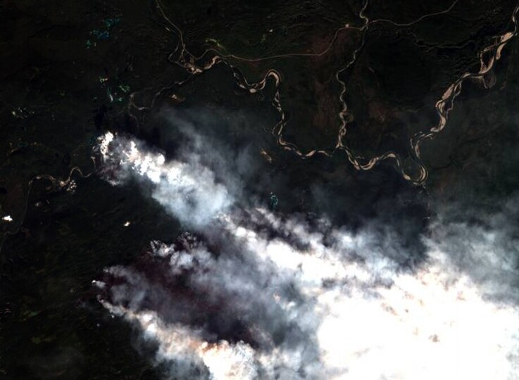
| Location | Satellite Image Of Canadian Wildfires From Sentinel 2 |
| Coordinates | 59.78751°N 128.27774°W |
| Satellite | Sentinel 2 |
| Tags |
|
For downloading the image create an account or login to the system

We’re here to help!
Don’t hesitate to ask any questions or schedule a demo.
Just let our customer support team show you exactly what EOSDA Crop Monitoring API can do for you.
EOS.com uses cookies which are necessary for this site to operate properly, and some of which are used for improving your experience with us. You can click “I accept” to accept all cookies, and you can review the cookies used in our Privacy Policy here.